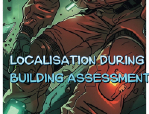
On 23th to 26th of January 2023, the FR’s locations obtained by the Galileo localization tool (DLR) could be successfully viewed in a visualization tool on a laptop and additionally inside the FR minimap on the Hololens visualization (CSGroup). The locations were transmitted to a broker provided by INOV via LTE and/or to the RESCUER data sharing orchestrator (UoG) via the RESCUER ad-hoc-network (INOV). Different outdoor and outdoor/indoor walks were tested, including a 15 minutes’ walk. The testers provided valuable feedbacks on these RESCUER applications, that will be used in the development process further on.
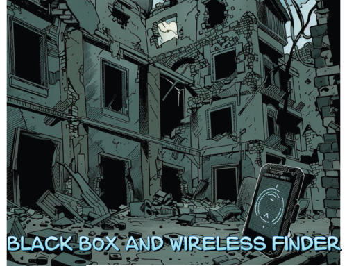
In a second experiment, the GNSS-antenna was covered by snow of about 1m height, and the quality of the GNSS signals was measured with the Ublox-ucenter2-App while digging in and up. The measurements showed that the degradation of received satellite signals is very small so that the risk losing GNNS locations under 1m of snow is very low.